

Trusted by Industry Leaders


Our Mission
To provide precise, reliable, and visually impactful aerial data and content that empowers businesses across real estate, agriculture, and construction. We aim to make advanced drone technology accessible and useful, delivering clear insights and high-quality visuals from above.


Professional Aerial Services for Every Industry
We capture high-quality drone data and video for construction, agriculture, real estate, and more. From detailed 3D models to cinematic footage, everything is tailored to your project's needs.
Innovation In Flight
Pushing drone technology to deliver smarter, faster, and more precise aerial solutions.
We constantly explore new techniques and tools to turn complex data into real-world insights from above.
Our work goes beyond flying drones — we transform aerial perspectives into meaningful insights. From farms to construction sites, we help businesses make informed choices through high-quality data, imagery, and creative storytelling.
Superior Data Accuracy
High-precision drone data for smarter decisions in construction, farming, and property analysis.
Increased Efficiency
Faster data collection and reporting to reduce costs, save time, and optimize operations.
Enhanced Safety
Minimize risks by capturing critical data from the air—no need for ladders or hazardous site visits.
Versatile Applications
From inspections to cinematic videos, aerial services adapt to real estate, farms, tourism, and more.
Gain a Competitive Edge with
Adrian Aerials
Our Applications
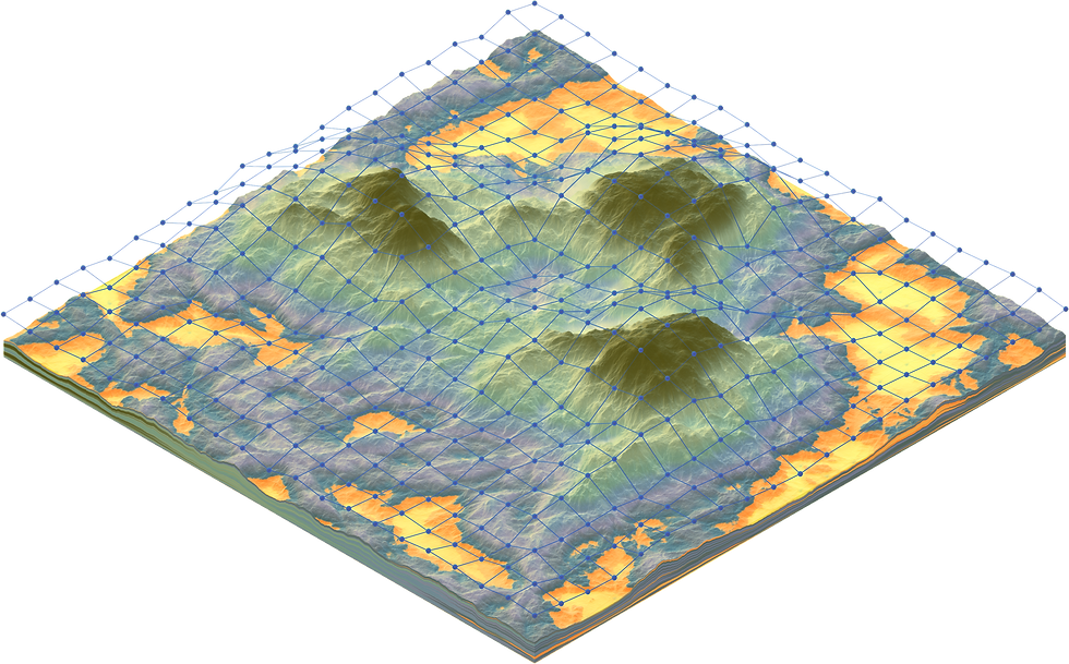
3D Mapping & Photogrammetry
Aerial images converted into accurate 3D models and maps.
Construction Monitoring Site
Site progress tracking and volume measurements from the air.
Real Estate Content
Aerial videos and photos to elevate property listings.
Agricultural Mapping
Crop and land analysis to boost efficiency and yield.
Roof & Site Inspections
Data PointsFast, safe and detailed inspections from above.
Cinematic Aerial Videography
Striking visuals for tourism, ads, and creative projects.
Land Surveys & Volumetrics
Engineering-grade aerial data for design and planning.
Rural & Urban Area Coverage
Flexible deployment in farms, towns, and construction sites.
Why Choose Us
✅ Professional Results, Every Flight
High-quality data and stunning visuals delivered with precision and care.
🕒 Fast Turnaround Times
We capture, process, and deliver on time — every time.
💸 Cost-Effective Solutions
Optimized packages tailored to fit your project's scope and budget.
📍 Local & Flexible
Based in Kildare, we cover farms, towns, and job sites across Ireland.
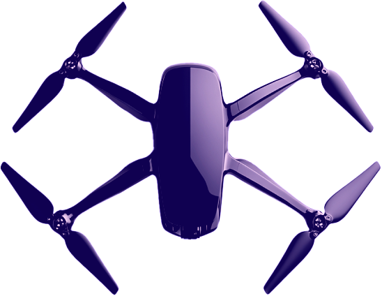
📡 Advanced Drone Technology
We use the latest DJI equipment for accuracy, safety, and detail.
📊 Actionable Aerial Insights
From photogrammetry to cinematic shots, our work turns footage into real value.

Let's Elevate Your Data
Ready to unlock the power of aerial environmental intelligence?